
Despite a very wet winter, California isn’t in the clear: AiDash reveals top counties at high risk of wildfires, and why Unlike France, which just experienced its driest winter in 6 decades, and the rest of Europe, which is still struggling with drought that began in 2018, California as well as various western U.S. states have now been declared drought-free.
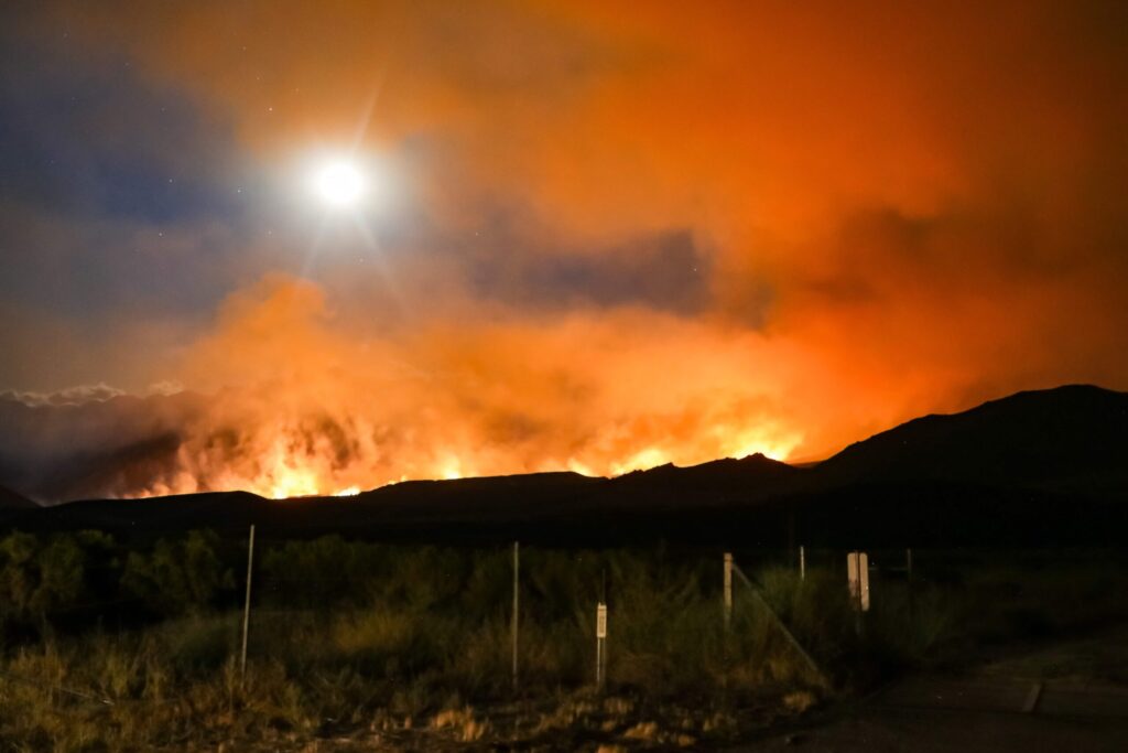
Good news? Not entirely.
AiDash has analyzed historical and satellite information and the findings are clear: more winter precipitation correlates with the potential for more acres burned.
Although these winter storms have mitigated drought conditions in California, they have also created a ‘wildfire paradox,’” explains AiDash Co-Founder and CEO Abhishek Vinod Singh. “Wet conditions allowing abundant vegetation growth will give way to the dry summer season, causing that growth to morph into highly flammable fuel for wildfires.”
This spring, in addition to the return of some basic early season rainfall, California experienced several bouts of “atmospheric rivers.” These narrow bands of the atmosphere carry concentrated moisture in streams from the tropics and deliver deluge-level rains. Along with the flooding the extra precipitation causes, it also heightens the water-grow-dry-burn cycle.
According to the state’s records that AiDash analyzed from 2000-2022, that cycle was especially evident — California’s very wet winters of 2016-2017 and 2018-2019 gave way to excess vegetation growth. As that growth dried from late spring into the summer and fall, it became fuel for devastating wildfire seasons.
Which means California’s good fortune of a wet start to 2023 is setting the stage for another daunting wildfire season.
The AiDash team examined more than 20 parameters when evaluating areas most at risk for wildfires in 2023. They used their proprietary predictive model to create risk maps that considered powerline and road networks, as well as wildland and urban interface (WUI) areas, and vegetation health. They looked at where topography, such as elevation, slope, and aspect, might generate risk, as well as weather-related risks around changing factors — not just precipitation, but also humidity, wind, and temperature.
Using this model, the team was able to determine the top 10 California counties facing wildfire risks in 2023: Ventura, Santa Barbara, Los Angeles, San Diego, Riverside, Tehama, Glenn, Colusa, Yolo, and Siskiyou.
“Satellite- and AI-powered solutions for vegetation management can address the wildfire paradox by supporting resilience and identifying high-growth areas that utilities need to watch or clear before fire season,” says Singh.
These solutions also provide details needed to address areas of drought and
determine where the most wildfire risk lies in parched regions. In fact, AiDash has turned its satellite imagery analysis and predictive risk model to top at-risk areas across Europe, including France, Spain, and Italy, and will identify these areas in upcoming reports.
AiDash’s unique tool, its Intelligent Vegetation Management System (ISMS),
combines satellite and AI capabilities to provide the analysis and predictive
modeling evaluate vegetation risk in real time. Through drought, rain, and
atmospheric rivers, Intelligent Vegetation Management System (IVMS) identifies threats and supports vegetation risk mitigation, including wildfire risk mitigation.