
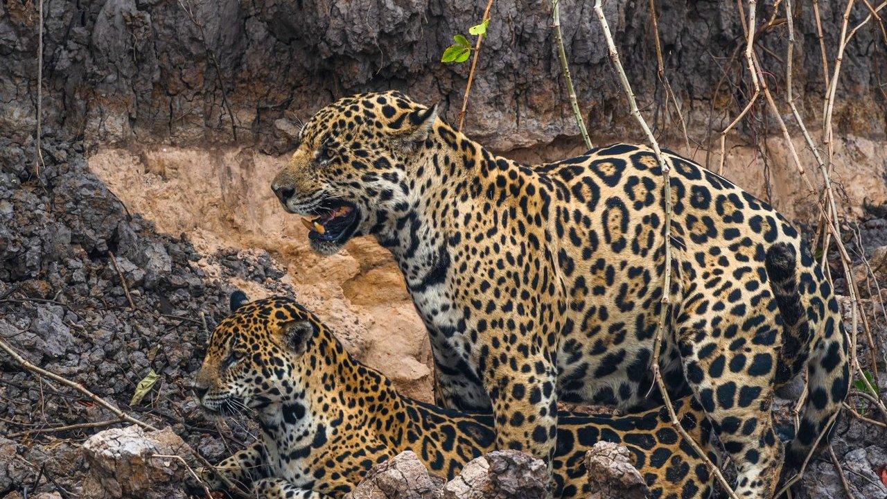
Wildlife Conservation Society has published a range-wide assessment of jaguar movement, mapping previously unrecognised corridors from Mexico to Argentina. The work, undertaken with an international research team including WWF-US and Panthera, analysed more than 134,000 GPS locations from 99 adult jaguars across five countries. Published in Ecosphere, the study uses recorded animal movements rather than expert opinion alone to assess connectivity across the species’ range. It identifies major zones in Central America, the Amazon Basin and southern South America, while indicating that some historic connections may no longer reflect present landscape conditions.
Movement Data Across The Range
The research offers a more detailed basis for protecting Panthera onca, the largest cat in the Americas. By mapping landscapes likely to support movement between populations, the findings provide a practical reference for governments, conservation organisations, Indigenous Peoples, local communities and land managers working across the region.
Habitat loss, fragmentation, infrastructure development and conflict with people have contributed to jaguars disappearing from more than half of their historic range over the last century. Maintaining routes between populations can support dispersal, genetic diversity, recolonisation of suitable habitat and adaptation to environmental change.
Harshad Karandikar, Lead Author and WCS Conservationist, said:
“Connectivity is fundamental to the long-term survival of jaguars. Using GPS movement data from jaguars across their range allowed us to identify areas that are most likely to support movement between populations. Some of the corridors we identified align with previous conservation priorities, while others suggest new opportunities to maintain connectivity before it is lost.”
Priority Corridors Identified
Among the study’s most notable findings is a corridor extending from northern Bolivia through the Pantanal and Paraguay River region into Paraguay and northern Argentina. The analysis also points to potential connections in parts of Central America and highlights areas where earlier corridor hypotheses may need reassessment.
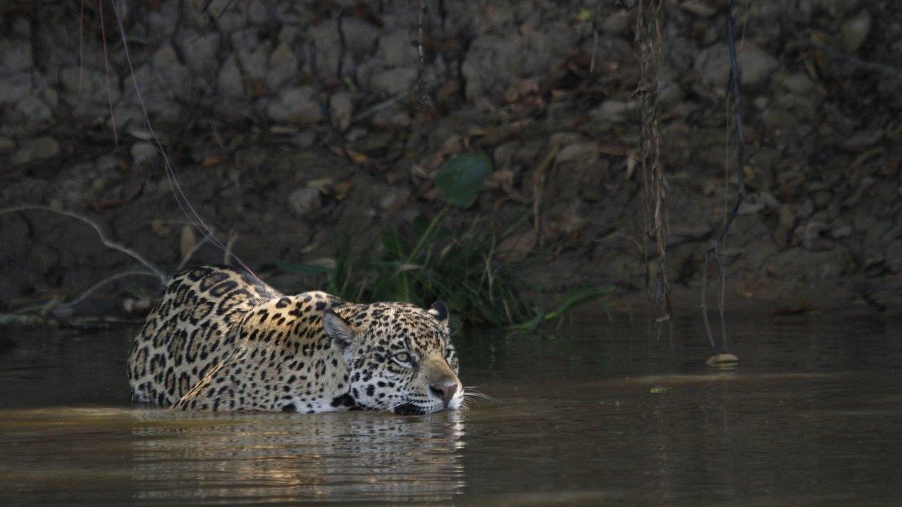
Panthera’s Jaguar Program identified the Bi-National Corridor in Honduras and Guatemala, the Amazon-Pantanal Corridor in Brazil and Colombia’s A2O Corridor among the connections and areas requiring further work. The study’s use of collar data gives conservation planning a direct link to the movements of the species it seeks to protect.
Dr. Allison Devlin, Panthera Jaguar Program Director, stated:
“This study provides an updated map of potential range-wide jaguar connectivity, forming a future-forward blueprint for the species’ conservation efforts. Taking the lead of the jaguar by using data collected from GPS collars, we used jaguar movement to model potential population connectivity throughout jaguar range. Encouragingly, this research highlights the importance of connections like the Bi-National Corridor in Honduras and Guatemala, the Amazon-Pantanal Corridor in Brazil where Panthera works, and key areas to ground-truth—including Colombia’s A2O Corridor—that warrant greater conservation efforts. Ever informing our science and partnerships, the jaguar guides the way.”
Testing Connections On The Ground
The maps identify potential movement routes, but the researchers stress that these locations need further validation. Camera trapping, genetic analyses, environmental DNA surveys and local ecological knowledge can help establish where jaguars are using corridors, where movement has been disrupted and where restoration could strengthen links.
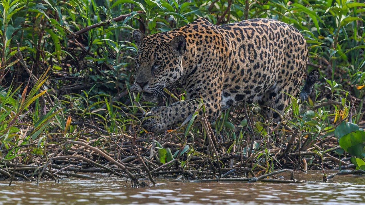
This field-based work is especially important where conservation priorities sit outside protected areas. The authors note that sustainable land-use planning, restoration and other effective area-based conservation measures will be needed to secure routes between habitat areas.
Dr. Robin Naidoo, Study Co Author and Lead Scientist at WWF-US, said:
“Connectivity maps show us where jaguars can move and what barriers may stand in their way, but the real test is what happens on the ground. By combining range-wide mapping with field research, we can see which corridors are being used, where connections are breaking down, and where restoring habitat could help put those connections back together.”
A Wider Landscape Signal
The study arrives as climate change and habitat conversion place further pressure on wildlife movement corridors across the Americas. Connected ecosystems may help species respond to changing environmental conditions while supporting biodiversity, ecosystem resilience and the ecological integrity of large landscapes.
For WCS and its research partners, jaguar connectivity is both a species conservation issue and a measure of the health of the landscapes these animals inhabit. The new mapping gives conservation efforts a clearer starting point for protecting and reconnecting populations across a substantial part of the jaguar’s range.
Luke Hunter, Executive Director of WCS’s Big Cats Program, said:
“Jaguars are telling us something important about the condition of the landscapes they inhabit. When connectivity is lost, populations become isolated and more vulnerable to decline. Protecting corridors is not just about conserving jaguars—it is about maintaining the ecological processes that sustain entire ecosystems across the Americas.”