
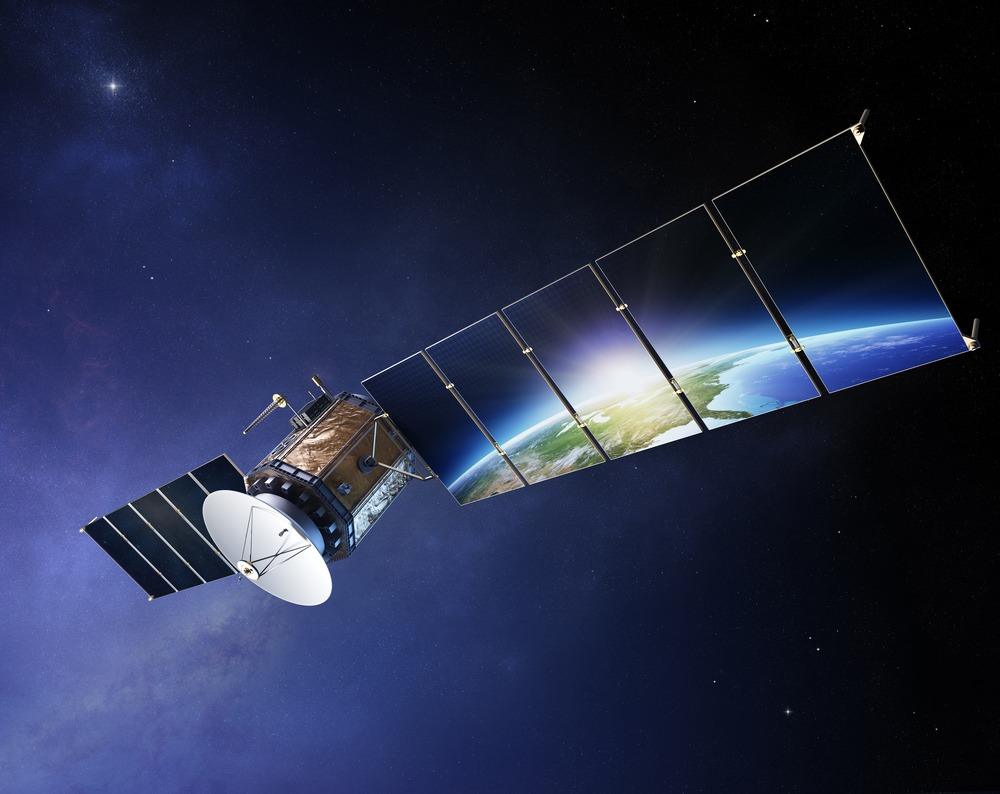
In the first chaotic hours of a disaster, our biggest enemy is confusion. Is the wildfire spreading north? How many neighborhoods are underwater? Where are the bridges washed out? Sending crews in on foot to find out is the traditional answer, but it’s a tragically slow, and often dangerous, way to build a map. This is where satellite technology, especially data from Landsat 9, cuts right through the chaos. It provides a clear, near-real-time overview of the entire affected region.
Seeing the Earth’s Transformation from Space
For the first time in our history, we aren’t just living through environmental change, we are witnessing it as it unfolds. At the very heart of this new capacity is that we can access Landsat 9 data. A joint mission between NASA and the U.S. Geological Survey, its launch in 2021 marked a new era. It has effectively become our planet’s “silent first responder.”
Its most powerful role isn’t just capturing the moment of crisis. It’s what comes after. Landsat 9’s data shows us the subtle, slow-motion story of recovery, the faint green of a forest returning, or the gradual retreat of water from farmland.
Disaster Management: Moving from Blindness to Insight
In any disaster, the first and greatest challenge is blindness. This is why satellite observation has become the absolute backbone of modern disaster management. The data streams from Landsat 9, working alongside partners like the Sentinel and Copernicus programs, are our eyes in the sky. They are the tools that finally allow us to map and measure destruction in hours, not weeks.
Wildfires
Take the wildfires that now routinely tear across the globe. A fire moving at 30 miles per hour doesn’t care about a ground report from yesterday. The smoke column itself creates a second crisis: it blinds pilots and ground crews, making it impossible to see the fire’s active front.
This is where Landsat 9 becomes a genuine lifesaver. Its specialized sensors, using near-infrared (NIR) and short-wave infrared (SWIR) bands, can essentially “see through” and detect the precise heat anomalies of the active fire line, allowing firefighters to attack the hottest, most dangerous spots first.
Droughts
Droughts are a different kind of beast. They don’t explode; they creep. They are a slow-motion crisis that can destabilize an entire nation’s food and water supply. By the time reservoirs are visibly empty and fields are brown, it’s often far too late.
Landsat 9 gives us the power of foresight. Its data, particularly through vegetation health metrics like the Normalized Difference Vegetation Index (NDVI), acts like a planetary health check. By comparing this month’s data to last year’s, we can spot agricultural “stress zones” long before they become full-blown crises.
Floods
When it comes to floods, the most powerful tool we have is the “before-and-after” snapshot. Landsat 9 gives us a clear, sunlit view of a river valley. Then, after a storm, it gives us the “after” shot.
By digitally overlaying these two images, we get a terrifyingly precise map of every submerged road, neighborhood, and farm. That map dictates where aid goes first, which bridges are gone, and how to get supplies to stranded populations.
Hurricanes and Earthquakes
Then you have the sudden, violent shocks: hurricanes and earthquakes. In these events, the first 72 hours are critical for rescue. When a hurricane makes landfall, we need to know, right now, which coastlines have been erased and which bridges are out.
Here, Landsat imagery, combined with cloud-penetrating radar data, gives us the first, raw look at the damage. The 2018 Sulawesi earthquake in Indonesia was a chilling example. Satellite comparisons revealed a horrifying truth: entire neighborhoods hadn’t just collapsed; they had been effectively erased by soil liquefaction.
Supporting Recovery and Building Resilience
This is where Landsat 9 does its most profound work. It’s not just about capturing the “after” shot; it’s about providing the “year after” and “decade after” shots. We get to watch the slow, patient story of healing: the re-greening of a burned forest, the gradual reshaping of a battered coastline, the slow return of productive farmland. And most importantly, this data is open. Local communities, non-profits, and university researchers have access to the exact same information as federal agencies.
Seeing the Bigger Picture
When we’re faced with the overwhelming force of a wildfire or a hurricane, our greatest enemy isn’t just the disaster itself, it’s the chaos and confusion it creates. Satellite observation is, quite simply, humanity’s new set of eyes in these moments of crisis.
This clarity is what empowers us, from scientists to on-the-ground rescue teams, to finally act decisively. But the true power of this technology isn’t just how it helps us react. It’s how it helps us prepare.
______________
Author :
Kateryna Sergieieva has a Ph.D. in information technologies and 15 years of experience in remote sensing. She is a scientist responsible for developing technologies for satellite monitoring and surface feature change detection. Kateryna is an author of over 60 scientific publications.